Alexander Springs Creek Overview

Alexander Springs is a 1st magnitude spring located in Lake County at 49525 County Rd 445, Altoona, FL 32702, (352) 669-3522. The spring produces 70 million gallons of water daily and is the headwaters to Alexander Spring Creek. The shallow creek winds first SE then NE a total of about 25 miles to the St. Johns River. Much of Alexander Spring Creek, except the first few miles, is often clogged with assorted aquatic plants making paddling the entire distance difficult. Below the surface amidst the flowing eelgrass are numerous sections covered with hydrilla and long algae strands.
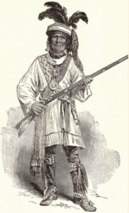
The creek has a moderate to slow flow at the start and is open with no canopy for the first 6.5 miles. The creek receives much of its surface water inflows from Billie’s Bay and Nine Mile Branch, which join the creek within half a mile of the headspring and contribute tannin-stained water from the swamps of Billie’s Bay Wilderness Area ( Legend has it that the Seminole warrior Billie Bowlegs hid out in this swamp, from which the headwaters of Alexander Springs arises.)
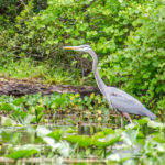
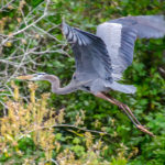
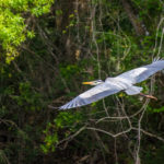
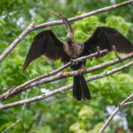
The clear, spring-fed water flows through the Alexander Springs Wilderness, bordered with Sabal Palmettos, Cedars, Red Maples, Sweetgum, and other hardwood swamp trees. As the creek narrows the current becomes swifter. Numerous birds, including Herons, Egrets, Moorhens, Anhingas, Osprey, and Cormorants can be observed. Turtles and alligators are often observed sunning along the creek, while an occasional otter can be seen swimming across the creek.
Alexander Springs Creek Details
![]() Location: Alexander Springs Creek begins in Alexander Springs Recreational Area, located in Lake County at 49525 County Rd 445, Altoona, FL 32702, (352) 669-3522.
Location: Alexander Springs Creek begins in Alexander Springs Recreational Area, located in Lake County at 49525 County Rd 445, Altoona, FL 32702, (352) 669-3522.
![]() Launch Point: The launch is located at the Southwest corner of the CR445 bridge. There is no launch fee as this is outside the park. No motorized vessels are allowed upstream from this point. Rentals are available inside the park…there is also a $5.50 day use fee to enter the park. See details…
Launch Point: The launch is located at the Southwest corner of the CR445 bridge. There is no launch fee as this is outside the park. No motorized vessels are allowed upstream from this point. Rentals are available inside the park…there is also a $5.50 day use fee to enter the park. See details…
$16/2 hours
$24/4 hours
$38/day
(+$20 deposit for canoe use).
Take Out Point: The take out point is the same as is this short paddle is an up and back paddle
![]() Paddle Distance: Total paddle for this short trip was 2.82 miles total.
Paddle Distance: Total paddle for this short trip was 2.82 miles total.
 Average Paddle Speed: 1.88 mph
![]() Width and Depth: At the launch Alexander Spring Creek is approximately 235′ wide, thinning to 40′ midway and 175′ at the beginning of the spring head. Depth varies from 1′ – 8′ along this stretch
Width and Depth: At the launch Alexander Spring Creek is approximately 235′ wide, thinning to 40′ midway and 175′ at the beginning of the spring head. Depth varies from 1′ – 8′ along this stretch
![]() Current – Tidal: The creek is spring-fed, with the flow light to moderate at the spring due to the width and becomes swifter in the narrower sections.
Current – Tidal: The creek is spring-fed, with the flow light to moderate at the spring due to the width and becomes swifter in the narrower sections.
![]() Rest Areas: Restrooms available at the head spring inside the park.
Rest Areas: Restrooms available at the head spring inside the park.
![]() Important Information: This was a short paddle on the creek. If paddling further downstream, there is little canopy, and could be hot. Also, the further downstream, clogs from the numerous aquatic plants could present a problem
Important Information: This was a short paddle on the creek. If paddling further downstream, there is little canopy, and could be hot. Also, the further downstream, clogs from the numerous aquatic plants could present a problem
Alexander Spring Creek Paddle Map
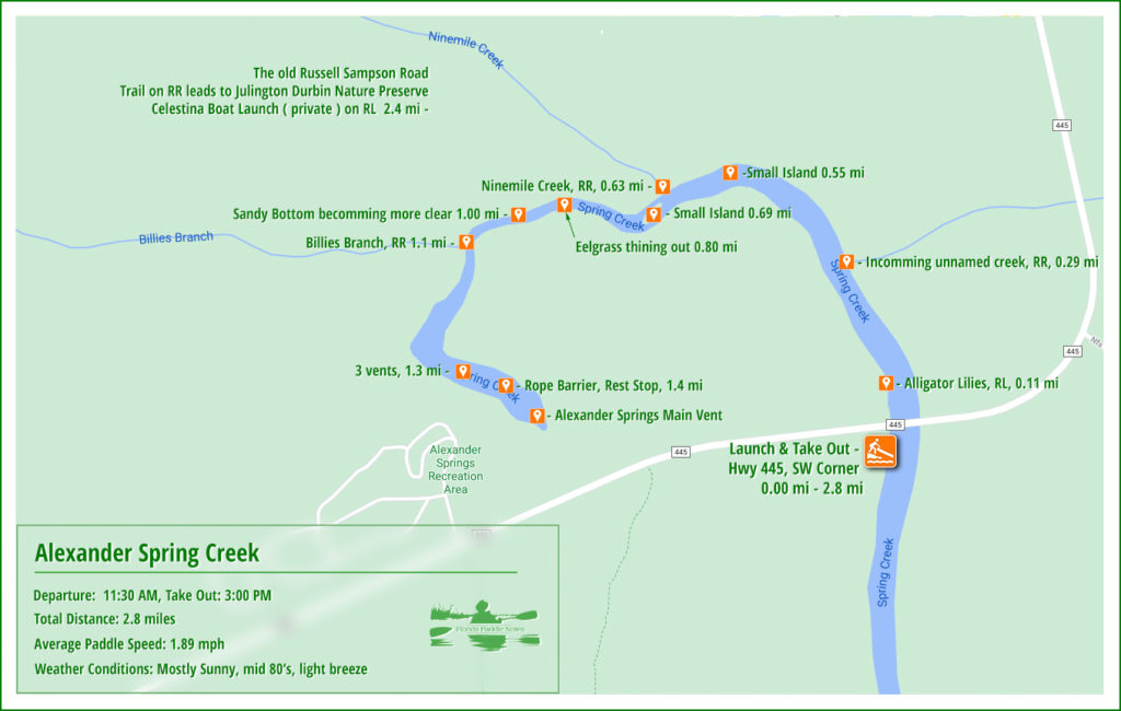
The CR 445 launch

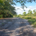
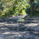
The launch, located on the Southwest side of the CR 445 bridge can be a bit tricky to maneuver when there has been a lot of rain. It is a little over 400′ from leaving CR445 to the waters edge. The middle half of this sandy drive is often rough and when it has rained, becomes a giant mud hole. It is best to keep to the right if trying to drive close to the water’s edge.
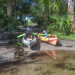
There is no designated parking, however, most folks seem to find spots along the south side of this driveway, tucked along the treeline. There are also no bathroom facilities except those provided by nature. Once at the water’s edge, it is quite tropical and the clear shallow water, with a sandy bottom, makes for an easy, pleasant launch.
Alexander Spring Creek
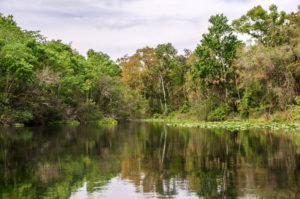
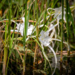
The Creek is open at the launch, as well as shallow. Once passing under the bridge, the shoreline is a mix of Sawgrass, Reeds, Pickerel Weed, Water Lettuce, and Spadderdock. It may appear clogged at first but narrow paths have been forged through the vegetation and the paddling is quite easy despite being against the flow.
The first mile is relatively quite shallow, passing over the flowing eelgrass, and tannins from the runoff of the surrounding wilderness obscure what is actually very clear water. At the one mile mark, the effects of the flow from Alexander Springs predominate and the sandy bottom becomes more visible, while the eelgrass thins out and the water becomes quite clear.
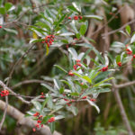
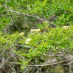
This time of year showcased the Dahoon Holly along the shoreline. Clusters of bright red berries contrasted the dark green leaves. Asters were just coming into bloom, As was Primrose Willow, while Climbing Hemp Vine blossoms were fading. Wax Myrtles were seeding and numerous Giant Leather Ferns painted the water’s edge.
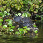
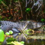
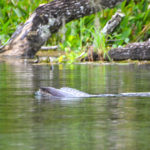
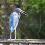
Anhingas and Tri-Colored Herons were the predominant bird species, although with a keen eye we spotted and Ibis or two inside the thick brush. Numerous Red-Bellied Cooters crowded available exposed branches and logs, one large gator was caught hiding in the shadows and a lone otter swam across the creek.
Alexander Spring Creek Photo Gallery
Alexander Spring…
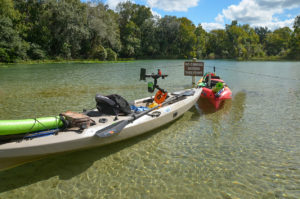
Just before reaching Alexander Springs, there is a boil ( three vents ) located about midstream at 29° 4’55.63″N, 81°34’39.64″W. Here the water becomes shallow and there is a buoyed line just ahead preventing boats from entering the spring. It is the end of the line and a perfect sandy, shallow area to anchor and relax.
From this rest area, it is a short swim (400′) to explore this beautiful spring! We rested, explored, and headed back the short distance to the launch, enjoying a very relaxing and beautiful paddle on this short version of Alexander Spring Creek.
Guides, Maps & Info…
- Alexander Spring Creek Topo Map…
- Alexander Springs Recreational Area…
- Alexander Spring Creek Water Data...
- Alexander Springs – St. Johns River. SJRWMD…
- Billies Bay Wilderness…
![]()

