Free the Dam Protest – Today
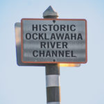 Today marks the 48th Anniversary of President Nixon’s Stop Order halting construction of The Cross Florida Barge Canal, now known as the Marjorie Harris Carr Cross Florida Greenway…James

 Today marks the 48th Anniversary of President Nixon’s Stop Order halting construction of The Cross Florida Barge Canal, now known as the Marjorie Harris Carr Cross Florida Greenway…James
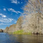 The Outlet River was at one time a canal, dug in the 1800s to connect citrus growers and cattle ranchers along the Withlacoochee River to the railhead located in the town Lake Panasoffkee. Lake Panasoffkee, which is Indian for “Valley of Water” is the third-largest lake in Florida with a surface area of approximately 4100 sq ft. and a mean depth of 3′. The lake is designated an Outstanding Florida Waterway…James
 On that day the Boll Green Aquaholics will be holding an event to mark this day and keep the protest alive until the damn Dam comes down. Those interested in participating can get details on the BGA Facebook Event Page. Mark your calendar and let your voice be heard! See you on the water!…James
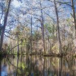 We launched on the southeast corner of the SR 20 Bridge, near Kate’s Fish Camp. It is a steep slope down to the water but there were no issues. As was the case for the two previous paddles over the last year and a half, the current was moving well and the water was high…James
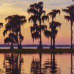 Santa Fe Lake is considered a deep lake, with some spots reaching 30’ deep. It is designated by the State of Florida as an Outstanding Florida Water, characterized by the numerous Bald Cypress that grow along the shoreline…James
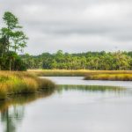 Bulow Creek is a State of Florida Canoe Trail. It is a shallow, meandering waterway, originating in the wetlands of Graham Swamp, West of the Intercoastal Waterway ( Matanzas River ). Bulow Creek flows South for most of it’s 9 mile length before turning eastward and flowing into the Halifax River. Here is a Bulow Creek Paddle Guide.
 Scale Key is part of the Cedar Keys chain located in Levy County. The Executive Documents of the 13th Congress 1847, which show that the Cedar Keys were reserved for occupation under The Armed Occupation Act of 1842. This act was to allow individuals with arms, to settle unoccupied lands in the Florida peninsula to help control any uprisings from the Seminole Indians that still remained in Florida….James
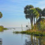 The head spring, Salt Springs, gets its name from the magnesium, potassium, and sodium salts rising to the surface through ancient salt deposits. The spring is located in the town of Salt Springs. It is a second magnitude spring with a flow of over 60 cubic feet per second, having several vertical vents in a large shallow pool. Salt Springs Run is a major tributary to the St. Johns River…James
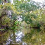 Rock Springs Run is located in Orange County, 5 miles northeast of Apopka, and 5 miles southeast of Sorrento, Fl. It is an 8-mile long run, forming the boundary between the 7,000 acre Wekiwa Springs State Park to the West and the 14,000 acre Rock Springs Run State Preserve to the North and East…James
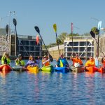 The Buckman Lock was constructed in the mid to late 1960s as a part of the Florida Cross Barge Canal project. The project’s goal was to connect the Atlantic Ocean with the Gulf of Mexico with a canal across Florida. It didn’t go well. The on-again off-again project was first conceived by King Phillip II of Spain in 1537! Throughout centuries, the project was started and stopped and in the end, it was Marjorie Harris Carr who helped bring about the official cancellation of the project in 1990.