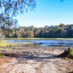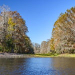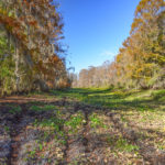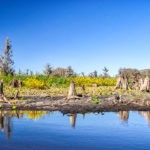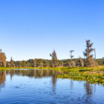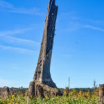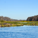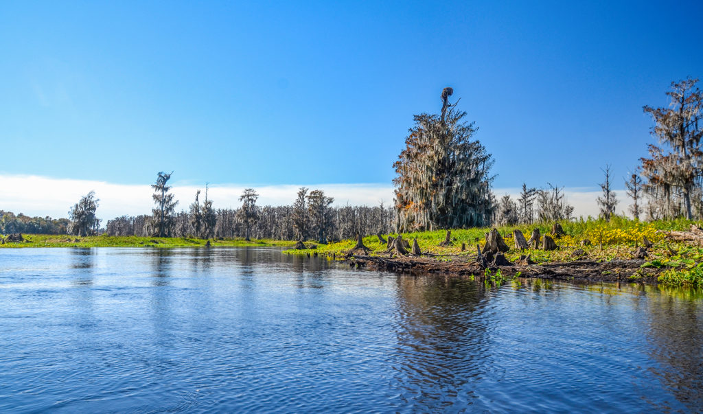
Rodman Reservoir is currently in a drawdown, where the water level goes from an average of 18′ – 20′ down to approximately 11′. The drawdown exposes the original Ocklawaha River channel along with the remains of hundreds of Cypress tree stumps that once lined the banks of the river. Today, Florida Paddle Notes explores a portion of the ‘Lower Ocklawaha’ from Paynes Landing to Orange Springs. The route is quite scenic during the drawdown with plenty of wildlife to view.
A more detailed look into today’s paddle follows below…James
![]()
Ocklawaha River Overview:
For a detailed Ocklawaha River history and overview please visit previous Florida Paddle Notes…
Paynes Landing to Orange Springs Notes:
![]() Location: The ‘Lower’ Ocklawaha River is usually considered the section from the Eureka Dam on Hwy 316 East of Ft. McCoy, to its confluence with the St. Johns River. Today’s paddle covered a 6 mile stretch from Paynes Landing to Orange Springs.
Location: The ‘Lower’ Ocklawaha River is usually considered the section from the Eureka Dam on Hwy 316 East of Ft. McCoy, to its confluence with the St. Johns River. Today’s paddle covered a 6 mile stretch from Paynes Landing to Orange Springs.
![]() Launch point: The launch for this paddle is at Paynes Landing, aka , Cypress Bayou Public Boat Ramp. The main launch is clogged and due to the low water, not navigable. There is a road that leads to the river for a soft launch. Due to low water be cautious of the mud along the banks.
Launch point: The launch for this paddle is at Paynes Landing, aka , Cypress Bayou Public Boat Ramp. The main launch is clogged and due to the low water, not navigable. There is a road that leads to the river for a soft launch. Due to low water be cautious of the mud along the banks.
The Take-Out is at the Orange Springs Boat Ramp. Like Paynes Landing, the original ramp is not navigable, however there is a road that leads out to the river for a soft launch.
![]() Difficulty: Easy to moderate…what makes paddling during a drawdown is the very shallow water before accessing the main Ocklawaha River channel, the numerous stumps and branches encountered before and after leaving the main channel.
Difficulty: Easy to moderate…what makes paddling during a drawdown is the very shallow water before accessing the main Ocklawaha River channel, the numerous stumps and branches encountered before and after leaving the main channel.
 Average Paddle Speed: 1.96 mph.
![]() Width and Depth: The navigable width for most of this paddle ranged from 40′ to 75′ while the depth measured 2.5′ to 5′
Width and Depth: The navigable width for most of this paddle ranged from 40′ to 75′ while the depth measured 2.5′ to 5′
![]() Current – Tidal: The current was slow to moderate, around 2 mph.
Current – Tidal: The current was slow to moderate, around 2 mph.
![]() Side Paddles: We attempted a side paddle to Hasty Greene Spring however 270′ into the 550′ run it was too clogged to reach the spring.
Side Paddles: We attempted a side paddle to Hasty Greene Spring however 270′ into the 550′ run it was too clogged to reach the spring.
![]() Rest Areas: There are a few areas to pull over for a break up to the the 2 mile mark, the best spot is at mile 1.60. There is an old dock and Plecostamous holes in the clay. The bank along the north side of the dock is best.
Rest Areas: There are a few areas to pull over for a break up to the the 2 mile mark, the best spot is at mile 1.60. There is an old dock and Plecostamous holes in the clay. The bank along the north side of the dock is best.
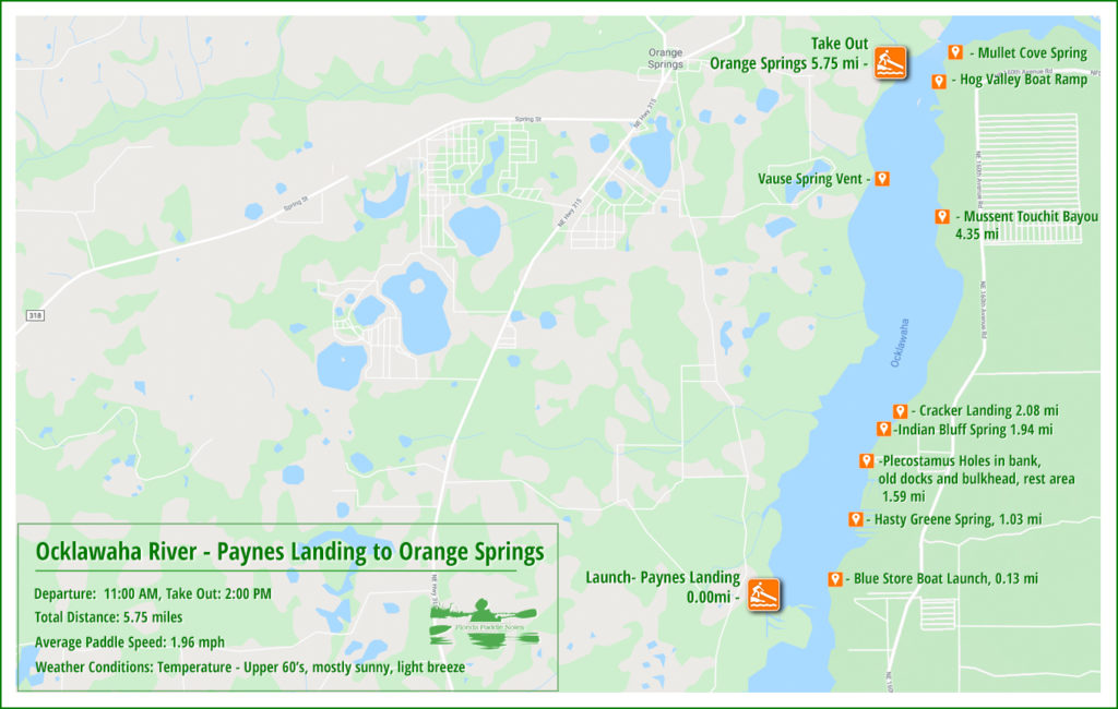
Paynes Landing to Orange Springs Paddle Map…
Paynes Landing Launch:
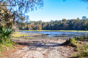
Also known as Cypress Bayou Public Boat Ramp, Paynes Landing is located near the upper 2/3 of what is called the ‘Lower Ocklawaha’. The coordinates of the landing which is located on the west bank of the river are 29°26’38.55″N, 81°55’32.65″W.
The landing is the historical site where the Treaty of Paynes Landing was signed in 1832. The treaty was intended to relocate all Native Americans to a reservation west of the Mississippi River, however it actually resulted in the Second Seminole War.
The original ramp and launch is approximately 2000′ from the river along a 100′ wide canal, however during this drawdown the canal has very little flow and is currently clogged with aquatic vegetation. Paralleling the canal, however, is a road, roughly maintained, that leads to the bank of the river. There is parking along the road and ample space to stage the kayaks and launch. Be careful of the mud along the banks!
The Ocklawaha River and Hasty Greene Spring…
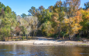
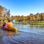
A beautiful day it was to paddle. A bit cool at launch, lower 60°s but sunny with blues skies above and a gentle breeze. Our paddle will take us with the current as we explore the 6 mile stretch to the Orange Springs take-out.
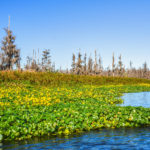
Immediately after launch the Blue Store Boat Launch is across the river on the east bank. I believe it is privately owned. The navigable section of the river is about 125′ wide, with the water bordered by thick water lettuce and dollarweed. At mile 0.18 on RR there is a cut off that is a 15′-20′ strip of water, 1/4 mile long that returns to the main river. It is not really worth the risk of taking it as it may be clogged once committed.
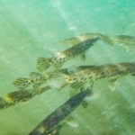
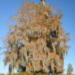
The river is beautiful. The rust colored Cypress leaves present a nice contrast to the deep blue sky and along the banks the yellow Tickseed Sunflower are in full bloom adding a beautiful accent. We paddle with a gentle current and on RR mile 1.0 is the entrance to Hasty Greene Spring run, also known as Garfish Spring, 29°27’9.89″N, 81°55’16.76″W. The name is fitting as there were numerous Gar swimming alongside and beneath our kayaks. The run is about 575′ to the spring but due to the vegetative clog we were only able to paddle up about 275′
Indian Bluff Springs and Plecostomus Holes:
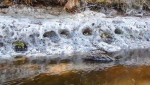
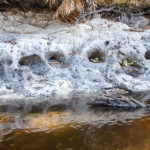
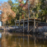
Next up, as we approach Indian Bluff ( mile 1.58 ) there is an old dock and remnants of a bulkhead made from palm trunks on RR. Just before the dock is an exposed clay bank with numerous holes. These are the burrowing holes made by the Suckermouth Catfish, often used in aquariums, Plecostomus spp. They are sometimes referred to as ‘Janitor Fish’ for their ability to clean the algae from aquariums. On the north side of the dock is an area that is adequate to take a break if need be.
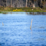
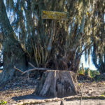
Paddling up toward Cracker Landing from Indian Bluff is Indian Bluff to Cracker Landing Springs at mile 1.94. The spring is marked by two 3/4″ pvc sections in the middle of the river. On the east bank is a dock with a large ‘For Sale’ sign that also helps locate the spring.
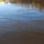
At the spring, there is a shallow area less than a foot deep. The water is not blue, but muddy and the only sign of the spring is the water movement on the surface from the boil. See the video below….
The Final Stretch to Orange Springs…
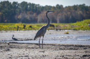
The last two miles was an interesting change of scenery. First off, there was much more boat traffic, to include air boats on this last stretch. Plenty of folks fishing. We also now entered the area where the reservoir has a more noticeable effect on the river. This is a vast, open area, usually underwater. Now, the reservoir bottom is an exposed expanse of mud, shallow pools and drying sand.
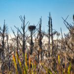
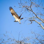
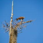
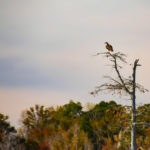
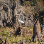
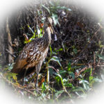
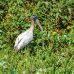
Along this stretch are numerous Osprey and Eagle nests with both species of birds perched and flying overhead as we paddle. Limpkins, Herons, Egrets, Ibis and Roseate Spoonbills dominate the landscape. Alligators are numerous on this paddle, all sizes, both sunning and swimming. We near the end of the line. Due to the drawdown, the take out is just under a 1/2 mile out into the reservoir from the original ramp at Orange Springs. A short video of the drawdown landscape…
Overall, the paddle was beautiful, awesome weather and full of wildlife. We will be returning for an extended paddle from Eureka West to Orange Springs in January!
Guides, Maps & Info…
- Rodman Reservoir Topo Map…
- Ocklawaha Water Level Info at Eureka…
- Florida Defenders of the Environment – Remembering the Ocklawaha…
- Ocklawaha River – Remembered-Imagined…
- North Star Charters…Capt. Karen Chadwick…
- History of The Florida Barge Canal…
- Ditch of Dreams…
- History – Treaty of Paynes Landing…
- Ocklawaha Canoe Outpost & Resort…
- The Springs of the Ocklawaha River, Florida: Rodman Dam to Eureka Dam…
- An Ocklawaha River Information Mini-Page…
- Whitey Markle on the Ocklawaha River…
- Searching for—and Finally Finding—Cannon Springs, by Whitney Sanford…
- Save Rodman Reservoir, Inc…
- Free the Ocklawaha, Info and Videos…
- Additional Ocklawaha River posts by Florida Paddle Notes…
![]()

