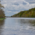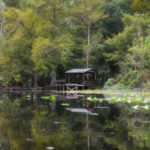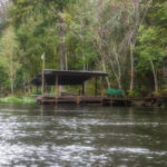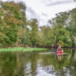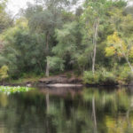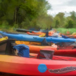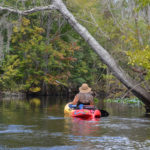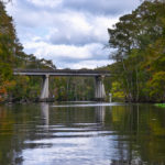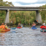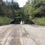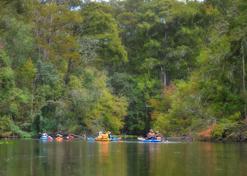
The first week into the Fall season finds Florida Paddle Notes back on the Ocklawaha River. This was an overcast day, temperatures in the low 90°’s with an occasional rain shower. The paddle takes us, along with the Boll Green Aquaholics, from the Kirkpatrick Dam Canoe/Kayak Launch at Rodman dam, 7.25 miles East to Hwy 19 at the Johnson Field Boat Ramp. The paddle is slow and easy, the water is high and there is quite a bit of downfall due to previous storms, however, nothing interfered with the paddle…James
![]()
Ocklawaha River Overview…
The Ocklawaha River is the principal tributary of the St. Johns River. It’s main source is Lake Griffin, part of the Harris chain of lakes in Lake County, Florida. The Ocklawaha River watershed includes parts of the Green Swamp, most of Lake County, and portions of Marion, Alachua and Putnam counties. The key tributary to the Ocklawaha is the Silver River, which originates in Silver Springs, Fl.
During the 1800’s and early 1900’s, steamboats populated the winding river, bringing folks from Palatka to Silver Springs. These boats were small and narrow in order to navigate the many twisting turns. The Hart Line was the most popular, as was Lucas Line as well. With the arrival of the railroad to Ocala, Florida the steamboat popularity declined. On many of today’s maps several of the landings where the steamboats picked up passengers are still listed.
Marjorie Harris Carr, past president of Florida Defenders of the Environment played a key role in fighting against the continuing of The Florida Barge Canal through the Ocklawaha River.
In January of 1971 a federal judge issued an injunction that stopped construction of the canal. This was immediately followed by President Richard Nixon officially halting construction due to the environmental damage it would cause. Today the Rodman Dam, now the Kirkpatrick Dam, is a reminder of the fight that continues to this day to have the dam removed. The fight to save the Ocklawaha River has inspired many artists, poets and musicians over the years to include Will McLean, Gamble Rogers, Don Grooms and Whitey Markle.
The 74 mile Ocklawaha River is a must paddle for those interested in ‘Old Florida’. It’s history is rich as are the wildlife and surrounding forests.
![]() For more in depth details and photos on the Ocklawaha River please see previous Ocklawaha posts from Florida Paddle Notes ..
For more in depth details and photos on the Ocklawaha River please see previous Ocklawaha posts from Florida Paddle Notes ..
The Paddle Route…
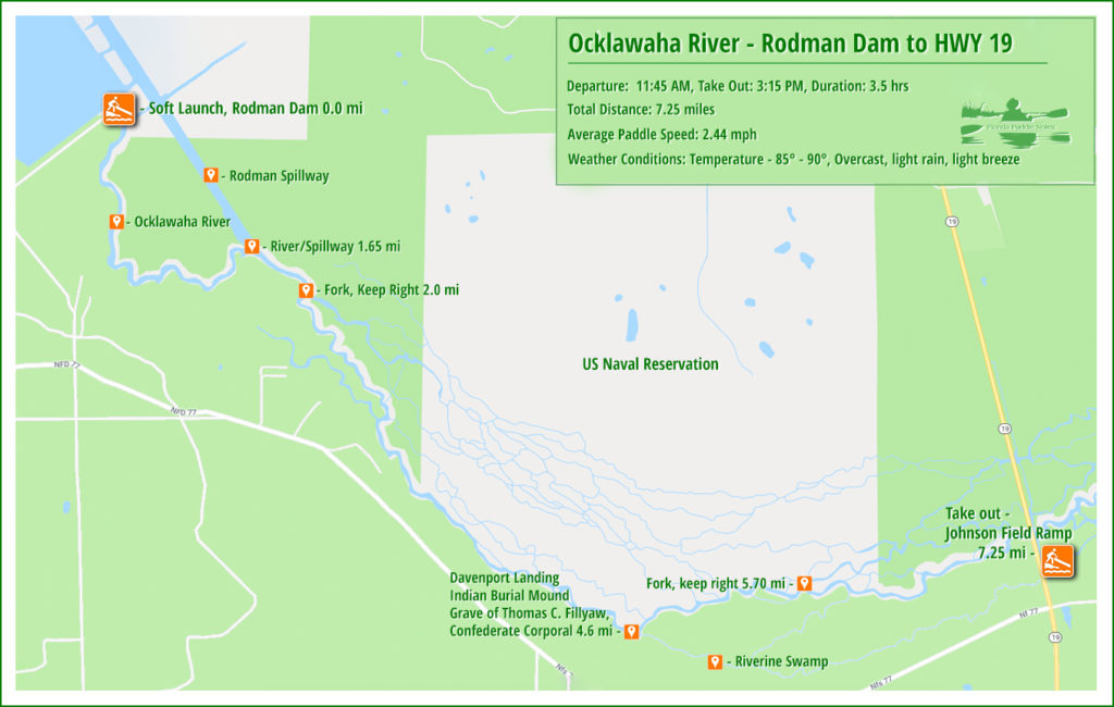
![]() Location: This section of the Ocklawaha River is located between the Rodman ( Kirkpatrick ) Dam, on Rodman Dam Road, Palatka, Fl and Hwy 19 in the Caravelle Ranch Wildlife Management Area.
Location: This section of the Ocklawaha River is located between the Rodman ( Kirkpatrick ) Dam, on Rodman Dam Road, Palatka, Fl and Hwy 19 in the Caravelle Ranch Wildlife Management Area.
![]() Launch point: The launch is located at Kirkpatrick Dam Canoe/Kayak Launch on the west side of the dam spillway.
Launch point: The launch is located at Kirkpatrick Dam Canoe/Kayak Launch on the west side of the dam spillway.
Take-Out point: The take-out is located at the Johnson Field Boat Ramp at Hwy 19 in the Caravelle Ranch Wildlife Management Area.
![]() Paddle Distance: This section of the Ocklawaha River is 7.25 miles long. The actual river is 7 miles to the bridge, the just under a 1/4 mile from the river to the ramp.
Paddle Distance: This section of the Ocklawaha River is 7.25 miles long. The actual river is 7 miles to the bridge, the just under a 1/4 mile from the river to the ramp.
![]() Difficulty: Easy. There are occasional logs that may need to be paddled.
Difficulty: Easy. There are occasional logs that may need to be paddled.
 Average Paddle Time: We paddled this in 3.5 hours which included a break at Davenport Landing.
![]() Width and Depth: The river averages between 85′ and 120′ wide. Checking the water level gauge it was 4.32 with flood stage at 5.00′
Width and Depth: The river averages between 85′ and 120′ wide. Checking the water level gauge it was 4.32 with flood stage at 5.00′
![]() Current – Tidal: There are no noted springs along this section of the river and depth is controlled by rainfall and Rodman Dam.
Current – Tidal: There are no noted springs along this section of the river and depth is controlled by rainfall and Rodman Dam.
![]() Side Paddles: There are some branches that parallel and connect to the river in this section, but are not really considered sides paddles as they are less wide, not often used and most likely blocked with fallen trees.
Side Paddles: There are some branches that parallel and connect to the river in this section, but are not really considered sides paddles as they are less wide, not often used and most likely blocked with fallen trees.
![]() Rest Areas: Davenport Landing, around mile 4.5 offers the best and only chance to exit your boat, stretch, relax and use the woods as a restroom if necessary.
Rest Areas: Davenport Landing, around mile 4.5 offers the best and only chance to exit your boat, stretch, relax and use the woods as a restroom if necessary.
On our way…
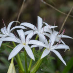
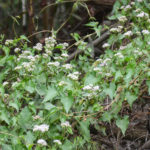
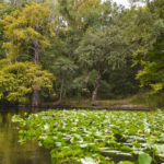
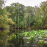
We were on the river by noon, under cloudy skies. The current was slight and we made or way to where the spillway from the dam meets the river at mile 1.65. It seemed to go slowly but once we were on the river past the spillway our speed picked up. There were numerous trees downed which made this portion of our paddle quite unattractive to me, but nothing blocked our way. Along the shoreline were large clumps of Swamp Lilies in bloom accented with the bright red color of the Scarlet Rose Mallow. Quite noticeable were the prolific mounds of Climbing Hemp Vine, covering so many shrubs and climbing trees.
A Pleasant Paddle…
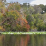
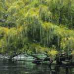
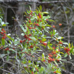
As we reached the 3 mile mark, there were much less downed trees and the foliage of the trees showed hints of Fall despite still being in the 90°s. As is usually the case, the Red Maples provided numerous splashes of Fall color among the landscape of differing shades of green and yellow. Cypress Trees were displaying their beautiful flower strands called Catkins.
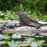
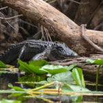
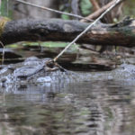
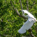
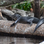
Several gators were spotted on logs along the way, a turtle here and there while the herons and Ibis flew on ahead of us as we approached. We continued our paddle reaching the break destination around mile 4.6, Davenport Landing.
Davenport Landing…
Davenport Landing is the site of an old riverboat stop as well as an Indian Burial Mound. During the steamboat era, this was the last landing on the Ocklawaha River in the 1800s – 1900s, before it reached the St Johns River. This was the last high bluff on the river and steamboats stocked up on lumber for their boilers and food. The ‘Landing Master‘ was Thomas C. Fillyaw, Confederate Corporal who died in 1873 and was buried at the landing. The burial mound dates back to being up to 1200 years old!
Davenport Landing is recognized from the river, around 4.5 mile, by a a low, reinforced wall at the water’s edge to the right of a beautiful Cypress Tree. Remnants of the old landing were covered by the higher water and vegetation. A great place to stop and rest. The water is shallow with a sandy bottom and plenty of space for kayaks. A trip up the bluffs offers exploration of the Indian Mound and the gravesite of Thomas C. Fillyaw.
The end in site…
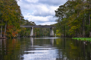
It was interesting to see so many crab traps along this paddle! The crabber and his partner boated along side us, chatted and wished us a pleasant day. With a mile and a half to go, the Ocklawaha continue to show off it’s beauty, and then in the distance at mile 7.0 was the bridge at Hwy 19.
Here, on the right, is the small canal leading to the Johnson Field Boat Ramp. The run is just under a quarter mile and the journey is over. It was a pleasure to have it overcast, which kept the heat down, however we did run into a couple of brief rain showers that also cooled things off. Boat traffic was not as bad as I have seen it before and all were courteous and friendly. A good paddle, on a good river, with good paddle partners!
Guides, Maps & Info…
- Rodman Reservoir Topo Map…
- Ocklawaha Water Level Info at Eureka…
- Florida Defenders of the Environment – Remembering the Ocklawaha…
- Ocklawaha River – Remembered-Imagined…
- North Star Charters…Capt. Karen Chadwick…
- History of The Florida Barge Canal…
- Ditch of Dreams…
- History – Treaty of Paynes Landing…
- Ocklawaha Canoe Outpost & Resort…
- The Springs of the Ocklawaha River, Florida: Rodman Dam to Eureka Dam…
- An Ocklawaha River Information Mini-Page…
- Whitey Markle on the Ocklawaha River…
- Searching for—and Finally Finding—Cannon Springs, by Whitney Sanford…
- Save Rodman Reservoir, Inc…
- Free the Ocklawaha, Info and Videos…
- Additional Ocklawaha River posts by Florida Paddle Notes…
![]()


