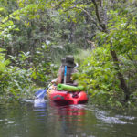
Wow, time flies! It’s been a year and a half since I’ve paddled on Salt Springs Run. On that paddle, we went all the way to Lake George and back…covering just under 9 miles, the last 4 1/2 against the wind and the current. I made note of two side paddles along the route and today’s goal was to explore one of them.
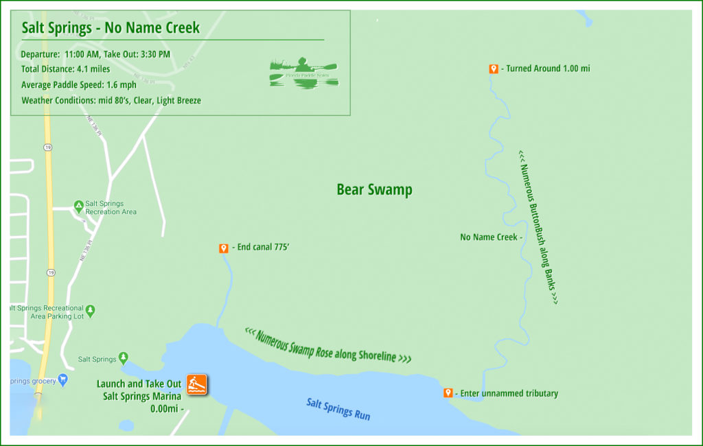
On the north shore of the Salt Springs basin is a wetland area known as Bear Swamp. Today’s side paddle takes us a 1/2 mile east of the launch at Salt Springs Marina and Landing. Here an unnamed tributary flows into Salt Springs Run.
You can read the original post on Salt Springs Run, to include details, maps, and photos, here…James
![]()
Salt Springs and the unnamed creek
Salt Springs…
Salt Springs is the head spring for Salt Springs Run. It is a beautiful spring with several vertical vents and shallow enough to walk around a good portion of it.
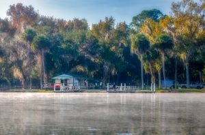
Just outside the spring head is the Salt Springs Marina & Landing where the launch is located. It has good facilities, though the parking fee is now $20.00. Still, it is only $10.00 with a National Park and Recreation Senior Pass, which I have. Rentals are also available.
The marina has both a ramp for larger boats as well as a grassy area ‘soft launch’ for canoes, kayaks and, paddleboards. After a pleasant cooling off in the clear water, we headed 1/2 mile East to the north shoreline of the 600′ wide basin to enter an unnamed creek flowing out of Bear Swamp.
Into the wetland…
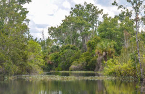
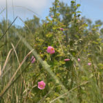
The northern shore of Salt Spring Run was a continuous display of pink Swamp Hibiscus, Hibiscus moscheutos. For most of the entire 1/2 mile paddle along that shore, these showy pink blossoms were on full display. Certainly, the most continuous number of hibiscus I have seen on a waterway!
At the 1/2 mile mark, we entered into the unnamed creek to see how far we could go. The mouth of the creek/tributary is 55′ wide and is located just before the large Salt Spring basin narrows to a 275′ wide spring run.
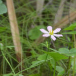
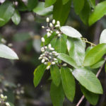
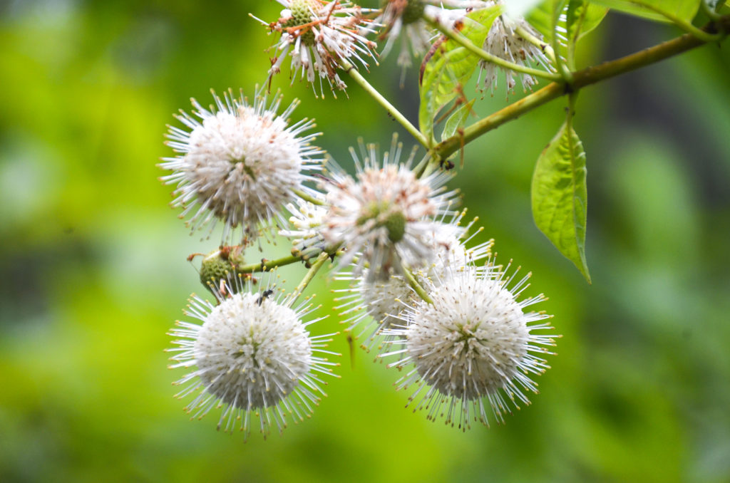
What caught my attention on this exploratory paddle was the numerous Buttonbush – Cephalanthus occidentalis shrubs! Not only was the entire waterway lined with them, but they were also quite large specimens, in full bloom! I was also able to document and identify two other species of plants that I had never come across before…Swamp Marsh-pink – Sabatia calycina, and American Rattan – Berchemia scandens, both pictured below.
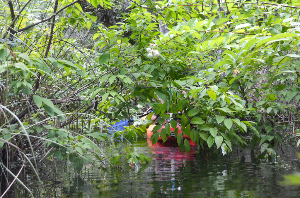
Continuing our exploration, we were able to paddle 1 mile up this waterway before being swallowed by the numerous Buttonbush shrubs that enclosed the now 15′ wide creek. I now refer to this waterway as Buttonbush Creek! We headed back, cooled off in the spring water, and ended another chapter of Florida Paddle Notes.
Additional Information…
Previous FPN post for Salt Springs and Salt Springs Run with details, photos, and maps…
- Salt Springs Topo Map…
- Salt Springs Run Marina and Landing…
- Salt Springs USGS Water Resources…
- Salt Springs Recreation Area…
- Salt Springs History…
- Archaeological Investigations at Salt Springs…
![]()

