Brief Overview:
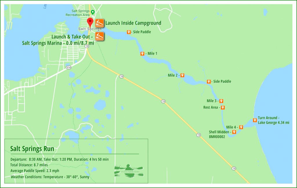
Salt Springs Run is a body of water that flows from the head spring, 4.5 miles to Lake George at the St. Johns River.
The head spring, Salt Springs, gets its name from the magnesium, potassium, and sodium salts rising to the surface through ancient salt deposits. The spring is located in the town of Salt Springs. It is a second magnitude spring with a flow of over 60 cubic feet per second, having several vertical vents in a large shallow pool. Salt Springs Run is a major tributary to the St. Johns River.
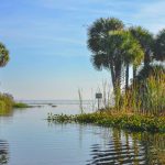
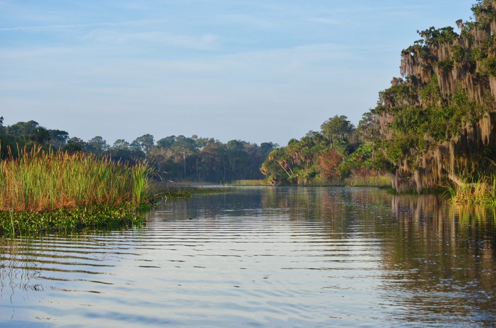
The run is wide for more than half it’s length, flowing through open marshland then narrowing and winding through shadier hammocks of Sabal Pamettos, Pines, Hollies and Oaks before reaching Lake George. Numerous water birds can be seen throughout the year, fishing is good and a variety of wetland plants can be seen blooming. In the colder weather, Salt Springs Run is a popular habitat for the West Indian Manatee.
Archaeological salvage excavations at Salt Springs have produced evidence of habitation from 5450-4407 and along the run, just shy of mile 4 on river left is Shell Midden 8MR0002 (*Lithic Debitage from a Mt. Taylor Site: Salt Springs (8MR2322) Excavations from a Submerged Spring Bed, by Thadra Ann Palmer Stanton)
The Paddle Notes ~ Salt Springs Run Photo Gallery
Salt Springs Run Details:
![]() Location: Salt Springs Run is located between Salt Springs and the St. Johns River.
Location: Salt Springs Run is located between Salt Springs and the St. Johns River.
![]() Launch/Take Out point: The launch is located at Salt Springs Run Marina and Landing, 25711 NE 134th Pl, Salt Springs, FL 32134. Rentals are available. There is a $10.00 parking fee per vehicle. An additional launch is inside the Salt Springs Recreational Area, available to campers.
Launch/Take Out point: The launch is located at Salt Springs Run Marina and Landing, 25711 NE 134th Pl, Salt Springs, FL 32134. Rentals are available. There is a $10.00 parking fee per vehicle. An additional launch is inside the Salt Springs Recreational Area, available to campers.
![]() Paddle Distance: Salt Springs to Lake George/St. Johns River approximately 4.5 miles.
Paddle Distance: Salt Springs to Lake George/St. Johns River approximately 4.5 miles.
![]() Difficulty: Easy. There may be times the wind can present a problem. Check the weather when planning your trip.
Difficulty: Easy. There may be times the wind can present a problem. Check the weather when planning your trip.
![]() Average Paddle Time & Paddle Speed: This paddle can take as much as 4-5 hours to complete depending how much exploring and relaxing you plan to do. Our average paddle speed was 2.3 mph.
Average Paddle Time & Paddle Speed: This paddle can take as much as 4-5 hours to complete depending how much exploring and relaxing you plan to do. Our average paddle speed was 2.3 mph.
![]() Width and Depth: The run is close to 700’ wide at the launch, with several ‘lake’ size openings for the first 2 1/3 miles, then tapers to an average of 150′ – 200’ for the remaining 2 miles. Shallow along the banks, the main channel can be from a couple of feet to 5′ deep.
Width and Depth: The run is close to 700’ wide at the launch, with several ‘lake’ size openings for the first 2 1/3 miles, then tapers to an average of 150′ – 200’ for the remaining 2 miles. Shallow along the banks, the main channel can be from a couple of feet to 5′ deep.
![]() Current – Tidal: Salt Springs Run is mainly affected by the flow from the head spring. Due to the wide areas at the beginning of the run and a couple of miles into the run, the flow is diminished, making paddling back to the marina less strenuous.
Current – Tidal: Salt Springs Run is mainly affected by the flow from the head spring. Due to the wide areas at the beginning of the run and a couple of miles into the run, the flow is diminished, making paddling back to the marina less strenuous.
![]() Side Paddles: For the adventurers and wildlife enthusiasts there are two side paddles that may be considered. Mile 0.5, RL, is a small creek that is 50′ wide and tapers to 15′ about 0.3 miles into it. Mile 2.5 is a creek, RL that begins at 25′ wide, tapering to 14′, 1/2 mile into it.
Side Paddles: For the adventurers and wildlife enthusiasts there are two side paddles that may be considered. Mile 0.5, RL, is a small creek that is 50′ wide and tapers to 15′ about 0.3 miles into it. Mile 2.5 is a creek, RL that begins at 25′ wide, tapering to 14′, 1/2 mile into it.
![]() Rest Areas: Restroom facilities at the launch, Salt Springs Run Marina and Landing, and in scattered sections along the last mile and a half of the run.
Rest Areas: Restroom facilities at the launch, Salt Springs Run Marina and Landing, and in scattered sections along the last mile and a half of the run.
2/3 of this paddle is an open expanse subject to sun exposure as well as wind exposure. Check the weather and dress appropriately. There are numerous power boats on this run. Be watchful!
Salt Springs Paddle Map…
Salt Springs…
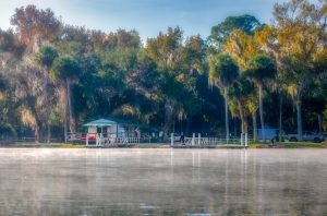
Salt Springs is the head spring for Salt Springs Run. It is a beautiful spring with several vertical vents and shallow enough to walk around a good portion of it.
Salt Springs (Marion) is a 2nd magnitude spring in Marion County in the Salt Springs basin. There are several vents located in a large, shallow spring pool. The pool measures approximately 129 ft (39.3 m) northeast to southwest and 189 ft northwest to southeast. The spring pool averages approximately 2 ft deep however, it is deeper over the vents. Some vents are reported to be up to 20 ft deep (Springs Fever website). The sampled vent is located in the north corner of the spring pool nearest the concrete wall, and the depth there is 8.0 ft. Salt Springs Run flows southeast approximately 4 miles into the northwest corner of Lake George. The north, south, and west sides of the pool are built up with a vertical 5 ft concrete wall with an accompanying sidewalk. Motorboats are not allowed in the spring pool, but they frequent the run.
Just outside the spring head is the marina where the launch is located. It has good facilities, though the parking fee has doubled since last year, now $20.00. Still, it is only $10.00 with a National Park and Recreation Senior Pass, which I have. The marina has both a double concrete ramp for larger boats as well as a grassy area ‘soft launch’ for canoes, kayaks and, paddleboards. The marina basin is a long basin running West to East for a little over a half a mile. It ranges from 685′ – 925′ wide and has an average Mean High Water Level around 6′.
Into an unknown tributary…
After a pleasant cooling off in the clear water, we headed 1/2 mile East to the north shoreline of the 600′ wide basin to
Into the misty Salt Springs Run…
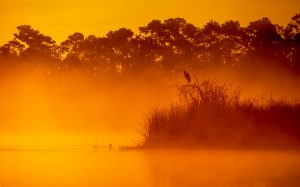
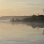
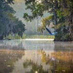
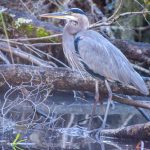
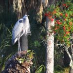
My main goal on Salt Springs Run is to get interesting shots during cold weather when it is very foggy and the sunlight is diffused and to see the manatees. The run is quite wide at the beginning just under 770′ and for 2 1/3 miles remains wide as I paddle through several ‘lake’ size openings. Several species of marsh plants line the shoreline, cattails, sawgrass. These open marsh areas are full of Egrets and several different species of Herons. I am able to photograph the landscape through a very thick fog and capture some interesting silhouettes.
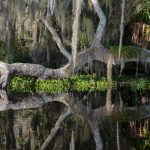
As I paddle, near mile 3, the run is much less wide, the fog is now lifting and the shoreline marsh now gives way to somewhat higher ground with oaks, pines, hollies, saw palmettos and numerous Sabal Pametto trees. There is a distinct tropical feel to this section. I paddle down, just under 4 miles around a deep bend. On the left, unknown to me visually but known through reading, is a shell midden # 8MR00002. Soon, at 4.5 miles, is Lake George/St. Johns River. It is very shallow here, about a foot and a half…glad to be in a kayak. On the south side of the opening, RR, is a nice ‘island’ beach, often occupied during warmer weather and later in the day.
Return to see the Manatees…
On the return trip back to the marina I encountered several power boats but nothing like I would have seen in the warmer months. It’s very important to keep an eye out for them. The paddle back never seems to be as exciting as the paddle out. The openness of the last few miles and lack of diversity in the shoreline keeps my mind on the treat that is in store…the manatees.
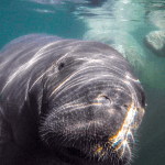
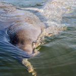
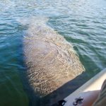
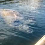
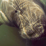
With the spring water at 72° it is the ideal habitat for the West Indian Manatee to get out of the colder waters of the St. John River. There is no shortage of manatees on Salt Springs Run today. I paddle to the center of the run across from the marina and the show begins! They are playful, powerful and gentle. One particular manatee immediately swam over to my kayak and kept nudging it, swimming underneath it, looking up at me and then…it rolls over on it’s back in a playful move to impress me. I love these creatures! It is important to be non-invasive to them and observe respectfully, however there are times, like today, it was apparent a few wanted to play! Enjoy the photos below! It was a beautiful day on Salt Springs Run and so ends another chapter In Florida Paddle Notes.
Salt Springs Run Photo Gallery:

Additional Salt Springs Information…
Previous FPN post for Salt Springs and Salt Springs Run with details, photos, and maps…
- Salt Springs Topo Map…
- Salt Springs Run Marina and Landing…
- Salt Springs USGS Water Resources…
- Salt Springs Recreation Area…
- Salt Springs History…
- Archaeological Investigations at Salt Springs…
![]()


