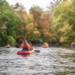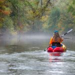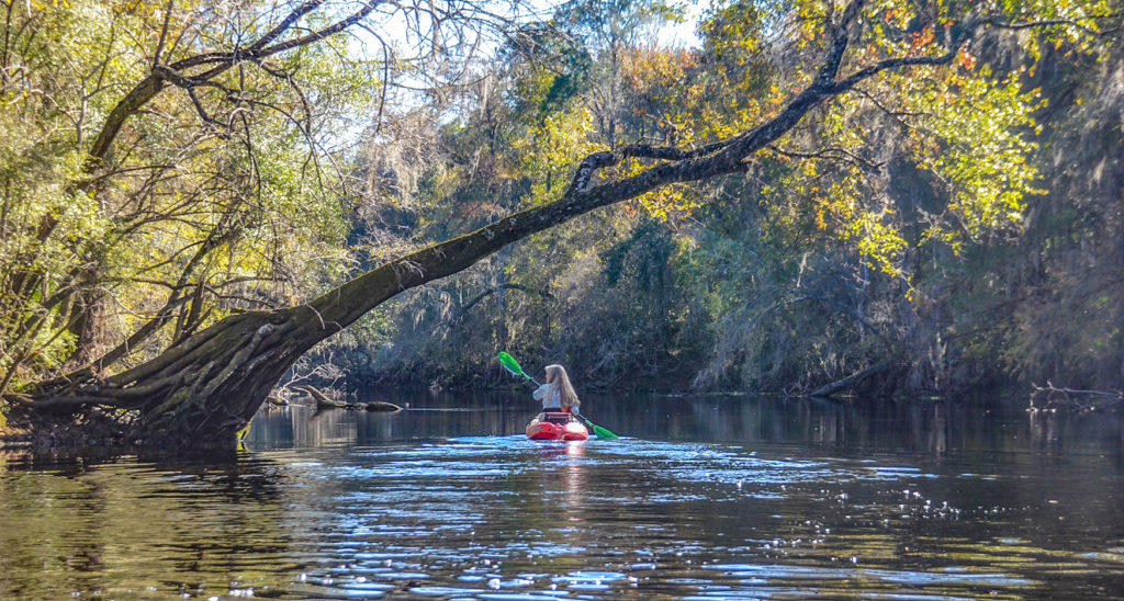
It has been two years since my last paddle up the Santa Fe River to River Rise. This was a beautiful Fall afternoon and time to enjoy another leisurely paddle along this very unique section…James
![]()
The Santa Fe River is a 75-mile long river in north-central Florida and derives its name from a Franciscan mission named Santa Fé de Toloca once located near the river. Its source is Lake Santa Fe – Little Lake Santa Fe located north of Melrose and East of Waldo. The upper half of The Santa Fe is a small, winding creek that often dries in periods of low water and the river is usually a slow-flowing river.
37 miles West of this source, the Santa Fe River disappears into a large sinkhole located in O’Leno State Park. The river continues to flow, underground, until it emerges 3 miles SSW of O’Leno in what is now River Rise Preserve State Park.
The Santa Fe River continues its flow for over 30 more miles until it meets the Suwannee River near Branford, Fl. Along the way, numerous springs feed into the river as do New River, Olustee Creek, and the Ichetucknee River. Due to the numerous springs, the water temperature is usually around 72 ° F, especially close to the springs.
A 26 mile Designated Paddling Trail runs from High Springs to Branford at the Suwannee River. The upper portion of this stretch has an abundance of popular springs and after the Ichetucknee flows into the Santa Fe, the river widens. In this section, there is more development and numerous powerboats as it flows into the Suwannee River.
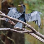
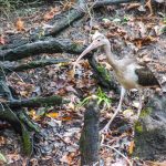
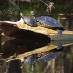
The River Rise has an abundance of wildlife to include several species of Turtles, Otters, Deer, Snakes, Herons, Egrets, Limpkins, Owls, and Ospreys among others. The shoreline, adorned with numerous Cypress Knees, is an assortment of hardwood trees and Saw Palmetto.
The Santa Fe River Rise Paddle Route…
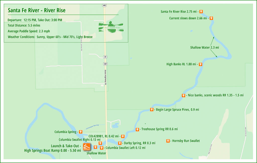
River Rise Details:
![]() Location: The ‘River Rise’ is located in Alachua County in the River Rise Preserve State Park.
Location: The ‘River Rise’ is located in Alachua County in the River Rise Preserve State Park.
![]() Launch/Take Out Point for this paddle: The launch is located at the High Springs Boat Ramp, 25227 Boat ramp Rd, High Springs, FL 32643. Rentals are available at Santa Fe Canoe Outpost High Springs, just up the road/river from the launch and Adventure Outpost in downtown High Springs.
Launch/Take Out Point for this paddle: The launch is located at the High Springs Boat Ramp, 25227 Boat ramp Rd, High Springs, FL 32643. Rentals are available at Santa Fe Canoe Outpost High Springs, just up the road/river from the launch and Adventure Outpost in downtown High Springs.
![]() Paddle Distance: Approximately 5.5 miles round trip.
Paddle Distance: Approximately 5.5 miles round trip.
![]() Difficulty: Easy. Today there was a strong current at the launch on the Santa Fe River, but an easy, relaxing paddle up and back.
Difficulty: Easy. Today there was a strong current at the launch on the Santa Fe River, but an easy, relaxing paddle up and back.
![]() Width and Depth: The width of the Santa Fe was 170′ at the launch and 135′ at the River Rise. In between, there were minimum widths of 40′ and 90′. At the launch, the depth was 2-3′ and naturally deeper by the time we reached the Rise, however, along the way there were sections just over one foot deep. The flood stage for this area is 36′ and the water level today was at 32.3′.
Width and Depth: The width of the Santa Fe was 170′ at the launch and 135′ at the River Rise. In between, there were minimum widths of 40′ and 90′. At the launch, the depth was 2-3′ and naturally deeper by the time we reached the Rise, however, along the way there were sections just over one foot deep. The flood stage for this area is 36′ and the water level today was at 32.3′.
![]() Current – Tidal: The current was swift at the launch but quickly mellowed out. Even though we were paddling upstream, there were areas of minimal resistance and a slow steady pace on the return.
Current – Tidal: The current was swift at the launch but quickly mellowed out. Even though we were paddling upstream, there were areas of minimal resistance and a slow steady pace on the return.
![]() Side Paddles: Side paddles are not applicable on this portion of the river, although there are a couple of springs to pass that were not clearly visible. ( See paddle map )
Side Paddles: Side paddles are not applicable on this portion of the river, although there are a couple of springs to pass that were not clearly visible. ( See paddle map )
![]() Rest Areas: Rest areas available at the launch as well as at the rise. Along the river there are areas to come ashore for a break. There is access to Santa Fe Canoe Outpost on the southeast side of the Hwy 41 Bridge.
Rest Areas: Rest areas available at the launch as well as at the rise. Along the river there are areas to come ashore for a break. There is access to Santa Fe Canoe Outpost on the southeast side of the Hwy 41 Bridge.
High Springs Boat Ramp…
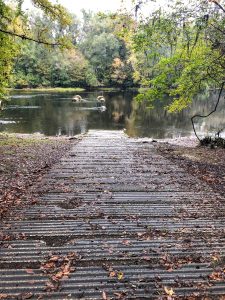
The High Springs Boat Ramp is located at 25227 Boat ramp Rd, High Springs, FL 32643. The High Springs Boat Ramp (and surrounding property) was purchased in 1958 from the State of Florida to provide recreational access to the Santa Fe River.
It is a bit of a slope for hauling kayaks but a good concrete ramp. Boats can be staged on either side of the ramp in the shallow, lime rock and sand bottom water.
The ramp is on the southern side of a large bend in the river creating a swift current coming from upstream to downstream. There is a rocky shoal just downstream from the launch.
Swallets and Springs…
The current at the launch was swift but not long-lasting and by the time we went through the first major bend, it was easy going.
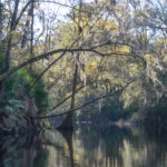
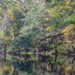
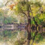
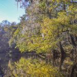
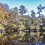
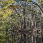
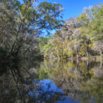
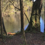
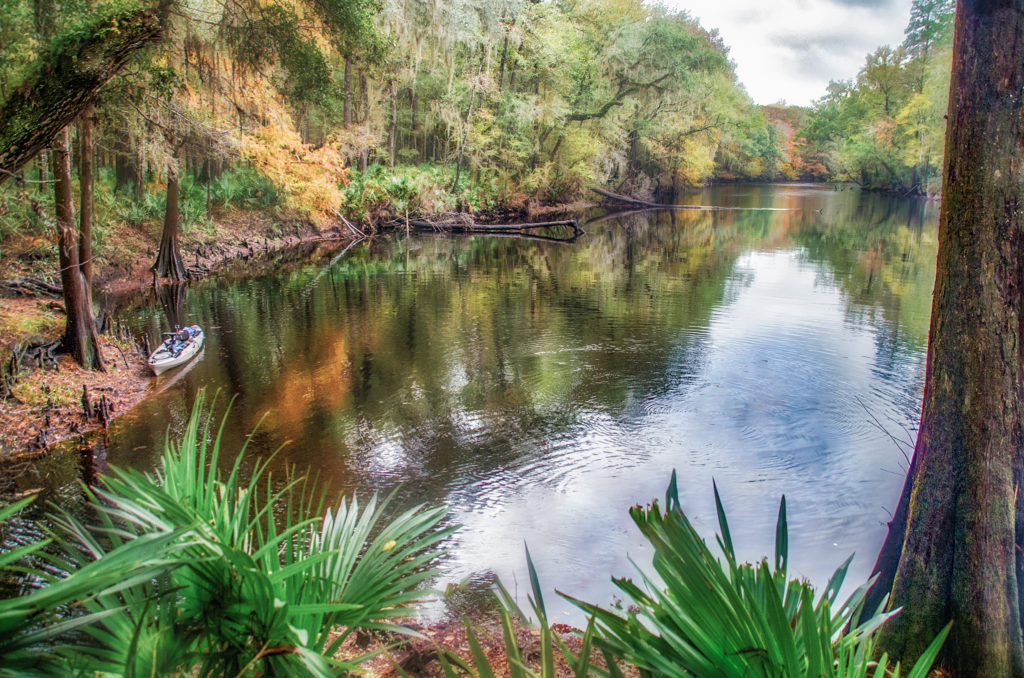
This section of the Santa Fe is absolutely gorgeous. The fall colors were just beginning to appear. The banks displayed a wide variety of trees to include several species of Oaks, Bald Cypress, Maples, and Gum. One interesting observation was the stands of large Spruce Pine, which, in some spots were quite tall.
There were only a few areas with Water Hyacinth, the shoreline was mostly clear of aquatic plants. Like small sentinels, Cypress Knees lined the shoreline for the entire paddle. With water level around five feet below flood stage ( 36′ ) the 2′ – 6′ banks were evident on both sides of the river topped with very vibrant Saw Palmettos.
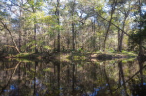
This paddle takes you past a couple of Swallets and two Springs, Darby Spring and Treehouse Spring, The two swallets are in small pockets across from each other just before reaching the Hwy 441 Bridge. ( see the paddle map for locations ). We did not paddle into Darby Spring. It is covered with branches, debris, and located on private property. Treehouse Spring is located in a small cove on the right but was not clear. It also is surrounded by private property.
River Rise…
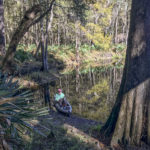
River Rise is where the Santa Fe River emerges from its three-mile journey underground from O’Leno State Park. This paddle to the rise takes you over some very shallow water and if the water level was one foot less, I am sure there would be portaging in some areas. Once at River Rise, I am always surprised that for such a large body of water emerging from underground, there is very little motion on the surface to indicate just what an amazing natural occurrence is taking place below us! It is a great place to enjoy and a nice view…
Guides, Maps & Info…
- River Rise Topo Map…
- River Rise Preserve State Park…
- O’Leno St. Park…
- The Geology of River Rise and Santa Fe Sink…
- Karst Hydrogeology of The Santa Fe River Basin – PDF…
- Water Level at River Rise…
- Santa Fe Canoe Outpost…
![]()

