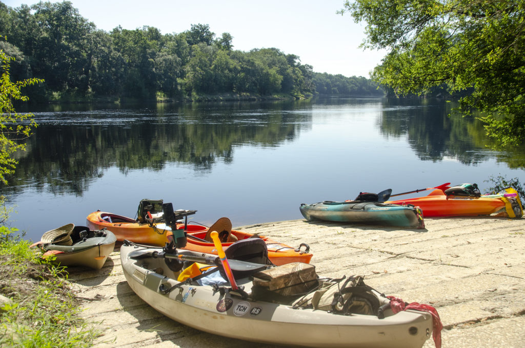
Brief Overview:
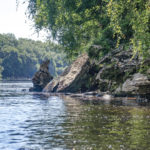
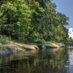
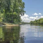
The Suwannee River is a federally designated wild blackwater river, flowing 246 miles from the Okefenokee Swamp in Georgia through Florida to the Gulf of Mexico. The river is characterized by it’s swamps, high limestone banks, hardwood hammocks and marshes. The river’s limestone outcroppings and a drop in elevation create Florida’s only whitewater rapids at Little Shoals and Big Shoals located several miles upstream from the city of White Springs.
Stephen Foster, America’s First Composer, who never visited Florida, struggled with a verse while writing “Old Folks at Home” and by a suggestion from his brother, used the Suwannee River to finish the verse. Since 1935 “Old Folks at Home” has been Florida’s state song.
 Owens Spring to Patrician Oak Details:
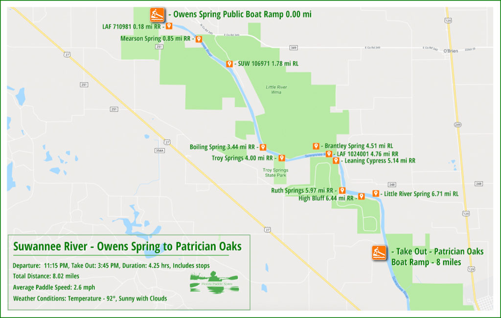
![]() Location: This section of the Suwannee River begins almost halfway between the cities of Mayo and Branford, flowing generally southeast toward Branford.
Location: This section of the Suwannee River begins almost halfway between the cities of Mayo and Branford, flowing generally southeast toward Branford.
![]() Launch Point: The launch is located at the Owen Springs Public Boat Ramp, County Road 251 (off Highway 27), Mayo, 32060
Launch Point: The launch is located at the Owen Springs Public Boat Ramp, County Road 251 (off Highway 27), Mayo, 32060
Take Out: The take-out point for this paddle is at Patrician Oaks Public Boat Ramp, Patrician Oaks Road (off NE Lantana Road), Branford, 32008.
![]() Paddle Distance: Approximately 8 miles which includes a side paddle up Ruth Spring run to Ruth Spring.
Paddle Distance: Approximately 8 miles which includes a side paddle up Ruth Spring run to Ruth Spring.
![]() Difficulty: Easy. Today there was a nice current allowing for an easy, relaxing paddle.
Difficulty: Easy. Today there was a nice current allowing for an easy, relaxing paddle.
 Average Paddle Speed: 2.6 mph.
![]() Width and Depth: The Suwannee River is averages 300′ wide in this section. Depth for today’s paddle was 10.5′ with flood stage at 25′ for this section.
Width and Depth: The Suwannee River is averages 300′ wide in this section. Depth for today’s paddle was 10.5′ with flood stage at 25′ for this section.
![]() Current – Tidal: Gentle flow, not tidal.
Current – Tidal: Gentle flow, not tidal.
![]() Side Paddles: A side paddle was taken to Ruth Springs, located at the 6 mile mark, on RR. The run is 650′ to the spring.
Side Paddles: A side paddle was taken to Ruth Springs, located at the 6 mile mark, on RR. The run is 650′ to the spring.
![]() Rest Areas: There are plenty of areas for rest stops, many are nice sandy ‘beach’ areas.
Rest Areas: There are plenty of areas for rest stops, many are nice sandy ‘beach’ areas.
![]() Important Information: Keep an eye out for busy boat traffic as well as numerous jumping Sturgeons!
Important Information: Keep an eye out for busy boat traffic as well as numerous jumping Sturgeons!
The Paddle Route…
Owen Springs Public Boat Ramp…
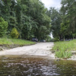
The Owen Springs Boat Ramp is a typical long ramp to account for the potential rise of water on the Suwannee River. There are no bathroom facilities but plenty of woods if needed. Ample non-paved parking. This is a nice concrete ramp supported by Sport Fish Restoration and Lafayette County.
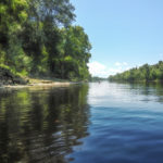
We launched under a blue sunny sky with scattered white clouds and warm temperatures, looking forward to cooling off in the coming springs.
Mearson Spring…
Immediately after launching from Owens Spring Boat Ramp, there is a small spring on RR at mile 0.18. This is a small 4th magnitude, un-named spring, LAF 71098, 30.0451° N, -83.033864° W. Due to the small size of the spring and the water level, this was not visible.
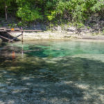
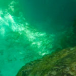
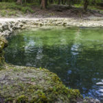
Further along at mile 0.85, RR however, is a beautiful gem of a spring, Mearson Spring, 30.041343°, -83.025028°. It is surrounded by private property, which is posted, however it is accessible from plenty of shallow water leading from the river, then dropping off at a steep ledge. This 2nd magnitude spring with several powerful boils below the ledge, is awesome. The vents produce a very strong boil and the greens and blues are vivid. The spring pool is framed by small steep banks. There was not a sole there as we rested and explored the spring.
Boiling Spring…
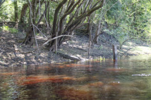
At mile 1.74 from the launch, there is another un-named spring on RL. As with LAF 71098, this this 4th magnitude spring, SUW106971, 30.032682° N, -83.013506° W, was not visible due to the water level, however there posts in place that apparently marked the location matching the coordinates.
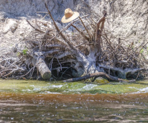
Mile 3.44 on RR offered a wonderful surprise! Boiling Spring. According to Suwannee River Water Management’s Facebook page, this unique spring has quite different personalities depending on the water level. They write…“The spring can bubble 6-12 inches high! The spring is located on the Suwannee River about 8 miles north of Branford. During low river levels, it flows over a limestone shelf into the river.”
On this particular day it was a visible, intense boil, just bubbling away with a definite force.
Troy Spring…
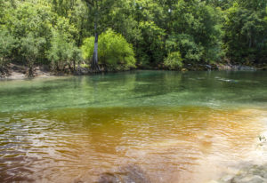
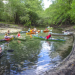
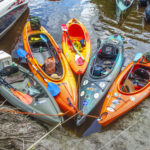
Next stop, Troy Spring! This 1st magnitude spring is a popular watering hole and this hot Saturday afternoon was no exception. Plenty of boaters were moored to the large floats that prevents entry to the spring by boat. Many were anchored along the shoreline. There were numerous folks in the spring as well a scuba divers. We tied our kayaks together along the barrier and entered the spring for a refreshing swim.
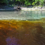
The water was clear and a clean separation of spring water and tannin from the Suwannee. The bottom, as well as the banks, were clay and made for some precarious walking. Also there are the keel timbers and ribs of the Confederate steamship ‘Madison’, sunk to keep it from falling into Union hands! We stayed just long enough to cool off and decided to move further down river to enjoy our lunch.
A nice treat, Ruth Spring…
Lunch was spent on a sandy beach area in the vicinity of two springs 4.7 miles down river, both of which we did not see; Brantley Spring on RL, 30.008283°, -82.986518°, and LAF1024001, RR, 30.007517°, -82.982251°
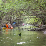
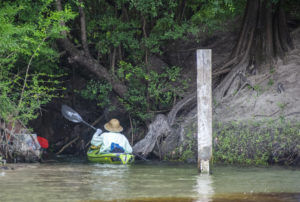
What we almost missed was Ruth Spring! At mile 6 on RR is the entrance to Ruth Spring. This run is marked with a large pole with a water gauge on it and presents itself as a dark tunnel into the shore. The run had a dense canopy of willows, elms and other brush and was shallow. It was tricky to paddle with a long paddle and some used half a paddle to maneuver.
Once inside we were greeted by a few paddlers already at the spring. The spring was was nice, secluded and had a canopy of oaks, gums and cypress.
The final stretch…
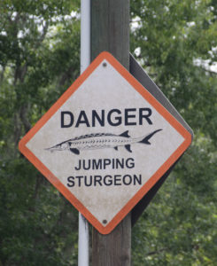
The final stretch after Ruth Spring took us past Little River Spring, on RL, mile 6.7. On this warm Saturday afternoon, it was quite crowded and we just paddled on by, deciding to visit it on a weekday in the fall. This area also has several warning signs for jumping Sturgeon. Already we had counted 7 along our paddle and apparently this section was such that required warning signs. The type of sturgeon in the Suwannee River are known for leaping and can grow up to 8 feet long and weigh 200 pounds, according to the National Oceanic and Atmospheric Administration. In July 2015, 5 year old Tanya Faye Rippy was the first recorded death by a Sturgeon on the Suwannee River.
We finally reached our destination at 8 miles, Patrician Oaks Public Boat Ramp just before the darkened sky opened up with heavy rain. A great chapter in Florida Paddle Notes!
NOTE: See other Florida Paddle Notes entries for The Suwannee River: Suwannee River – Rock Bluff Spring
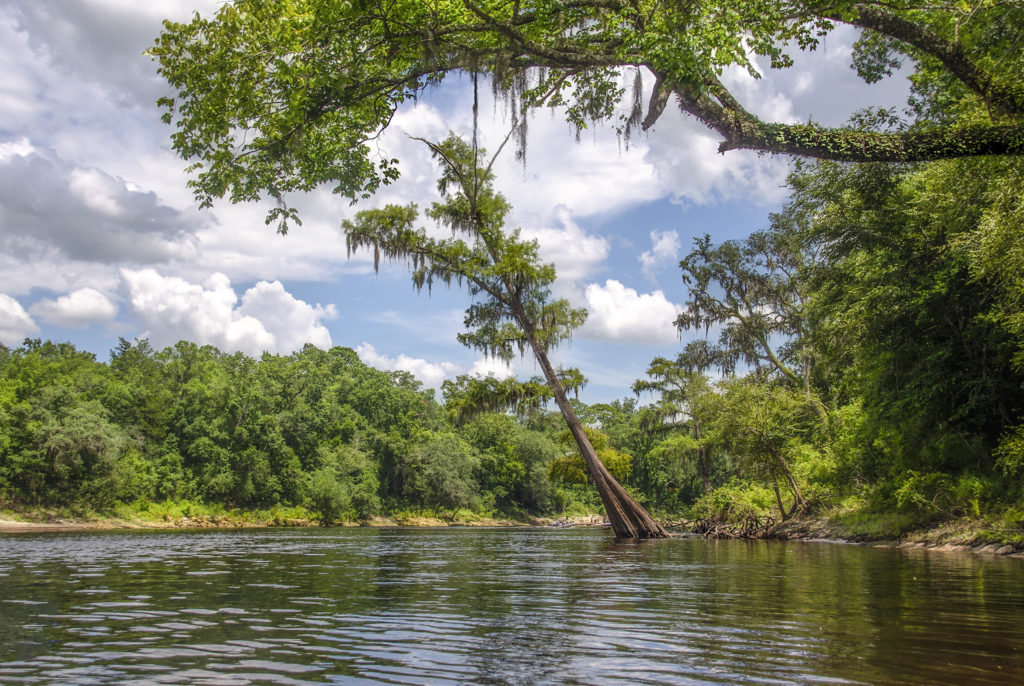
Suwannee River Gallery:
Additional Resources…Guides, Maps & Info…
- Middle Suwannee River Springs Restoration Plan, (pdf)…
- Suwannee River Wilderness Paddling Guide, (pdf)…
- Florida Spring Classification System and Spring Glossary, (pdf)…
- Suwannee River Water Management District, Boating and Canoeing…
- Suwannee River Wilderness State Trail (pdf)…
![]()

