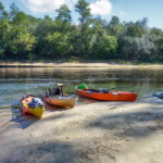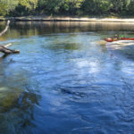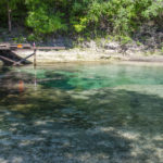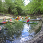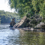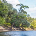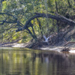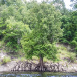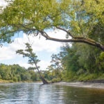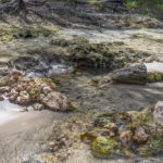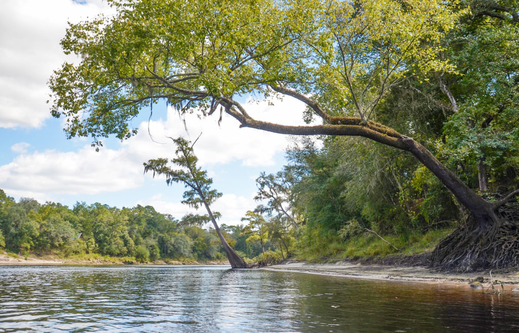
It’s October and Florida Paddle Notes is back on the Suwannee River. This is a repeat paddle of one done in July, posted here…the water was about 2′ lower than July giving us a whole new perspective of several of the springs. Also of note, this is a school day and there were very few folks on the river making for a very enjoyable paddle! The weather was in the low 90°s, partly cloudy and low humidity…al made for a good paddle!…James
![]()
Suwannee River Overview:
The Suwannee River is a federally designated wild blackwater river, flowing 246 miles from the Okefenokee Swamp in Georgia through Florida to the Gulf of Mexico. The river is characterized by it’s swamps, high limestone banks, hardwood hammocks and marshes. The river’s limestone outcroppings and a drop in elevation create Florida’s only whitewater rapids at Little Shoals and Big Shoals located several miles upstream from the city of White Springs.
Stephen Foster, America’s First Composer, who never visited Florida, struggled with a verse while writing “Old Folks at Home” and by a suggestion from his brother, used the Suwannee River to finish the verse. Since 1935 “Old Folks at Home” has been Florida’s state song.
![]() For more in depth details and photos on the Suwannee River please see previous Suwannee posts from Florida Paddle Notes ..
For more in depth details and photos on the Suwannee River please see previous Suwannee posts from Florida Paddle Notes ..
The Paddle Route…
Owens Spring to Patrician Oak Details:
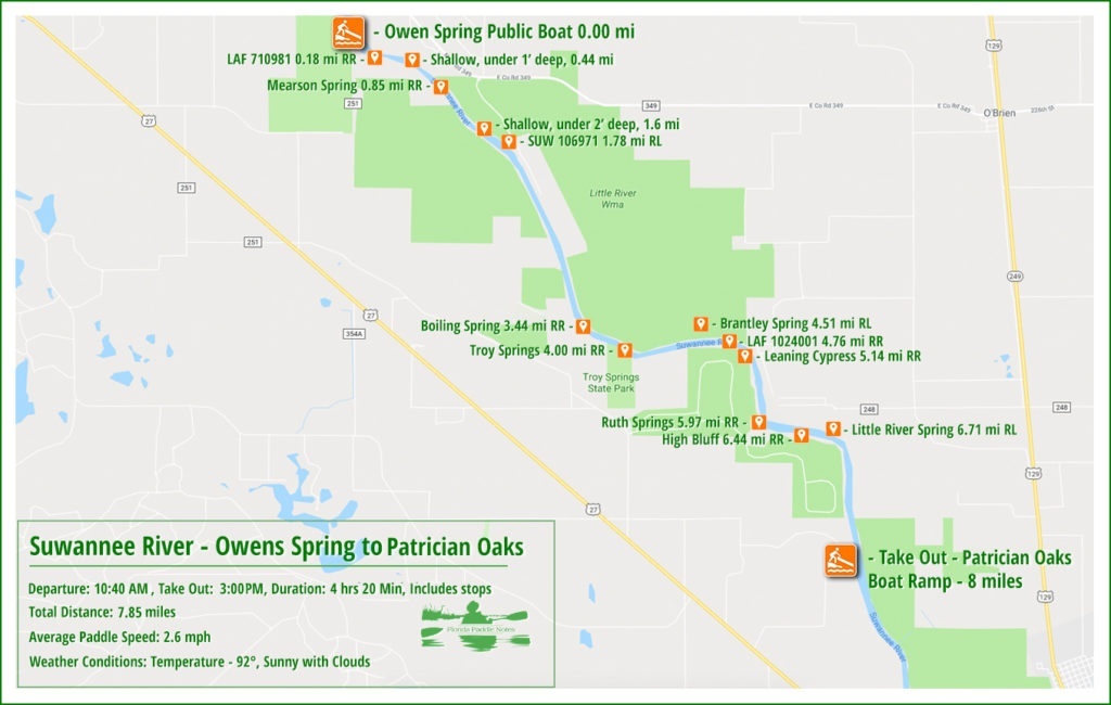
![]() Location: This section of the Suwannee River begins almost halfway between the cities of Mayo and Branford, flowing generally southeast toward Branford.
Location: This section of the Suwannee River begins almost halfway between the cities of Mayo and Branford, flowing generally southeast toward Branford.
![]() Launch Point: The launch is located at the Owen Springs Public Boat Ramp, County Road 251 (off Highway 27), Mayo, 32060
Launch Point: The launch is located at the Owen Springs Public Boat Ramp, County Road 251 (off Highway 27), Mayo, 32060
Take Out: The take-out point for this paddle is at Patrician Oaks Public Boat Ramp, Patrician Oaks Road (off NE Lantana Road), Branford, 32008.
![]() Paddle Distance: Approximately 8 miles which includes a side paddle up Ruth Spring run to Ruth Spring.
Paddle Distance: Approximately 8 miles which includes a side paddle up Ruth Spring run to Ruth Spring.
![]() Difficulty: Easy. Today there was a nice current allowing for an easy, relaxing paddle.
Difficulty: Easy. Today there was a nice current allowing for an easy, relaxing paddle.
 Average Paddle Speed: 2.6 mph.
![]() Width and Depth: The Suwannee River is averages 300′ wide in this section. Depth for today’s paddle was 8.93′ with flood stage at 25′ for this section.
Width and Depth: The Suwannee River is averages 300′ wide in this section. Depth for today’s paddle was 8.93′ with flood stage at 25′ for this section.
![]() Current – Tidal: Gentle flow, not tidal.
Current – Tidal: Gentle flow, not tidal.
![]() Side Paddles: A side paddle was taken to Ruth Springs, located at the 6 mile mark, on RR. The run is 650′ to the spring.
Side Paddles: A side paddle was taken to Ruth Springs, located at the 6 mile mark, on RR. The run is 650′ to the spring.
![]() Rest Areas: There are plenty of areas for rest stops, many are nice sandy ‘beach’ areas.
Rest Areas: There are plenty of areas for rest stops, many are nice sandy ‘beach’ areas.
![]() Important Information: Keep an eye out for busy boat traffic as well as numerous jumping Sturgeons!
Important Information: Keep an eye out for busy boat traffic as well as numerous jumping Sturgeons!
A beautiful morning…
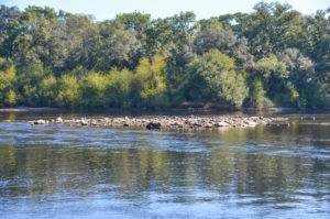
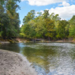
Upon arriving at the river we immediately noticed the lower water level. Rocks in the middle of the Suwannee were now exposed showing a water level drop of close to 2′. This was a good thing as a couple of the spring we intended to locate last trip may now be discoverable. It was a warm morning and we headed down river to our first stop, Mearson Spring.
Mearson Spring…
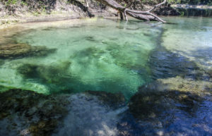
Mearson Spring was a treat in July. No one was there and it was beautiful. Like then, we were the only ones there on this paddle and enjoyed a nice break exploring the spring once again
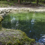
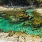
The Spring, 30.041343°, -83.025028° is surrounded by private property, which is posted, however it is accessible from plenty of shallow water leading from the river, then dropping off at a steep ledge. This 2nd magnitude spring with several powerful boils below the ledge, is awesome. The vents produce a very strong boil and the greens and blues are vivid. The spring pool is framed by small steep banks with a nice sandy beach along the Suwannee.
Boiling Spring…
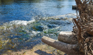
Mile 3.44 on RR offers a wonderful surprise! Boiling Spring. According to Suwannee River Water Management’s Facebook page, this unique spring has quite different personalities depending on the water level. They write…“The spring can bubble 6-12 inches high! The spring is located on the Suwannee River about 8 miles north of Branford. During low river levels, it flows over a limestone shelf into the river.”
Today, with a lower water table, the spring was quite visible, strong, active and fun to sit inside of it.
Troy Spring…
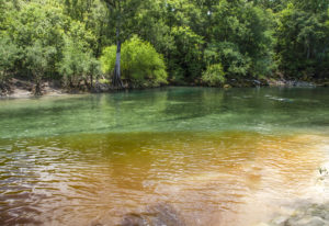
Next stop, Troy Spring! This 1st magnitude spring is a popular watering hole however today being both a work day and a school day there were just a few divers there!
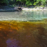
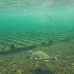
The water was clear and a clean separation of spring water and tannin from the Suwannee. The bottom, as well as the banks, were clay and made for some precarious walking. I photographed the keel timbers and ribs of the Confederate steamship ‘Madison’, sunk to keep it from falling into Union hands! We stayed just long enough to cool off, to explore the spring, have a snack and moved further down.
Ruth Spring…
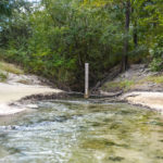
At mile 6 on RR is the entrance to Ruth Spring. This run is marked with a large pole with a water gauge on it and presents itself as a dark tunnel into the shore. The run had a dense canopy of willows, elms and other brush and was shallow. It was tricky to paddle with a long paddle and some used half a paddle to maneuver.
Today, with the lower water, we did not venture into the run, not wanting to portage over shallower water and clogs. We relaxed, enjoyed the water as it flowed into the Suwanee and made off to the next stop, Little River Spring.
Little River Spring…
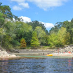
The final stretch after Ruth Spring took us past Little River Spring, on RL, mile 6.7. Again, due to being a school and work day, the spring was not crowded and we spent some time exploring this beautiful spring and relaxed on the sandy beach along the Suwannee.
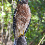
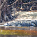
We finally reached our destination at 8 miles, Patrician Oaks Public Boat Ramp. It was en enjoyable paddle with plenty of new adventure, photographed a Red Shouldered Hawk as well as a huge gator!…definitely another great chapter in Florida Paddle Notes!
NOTE: See other Florida Paddle Notes entries for The Suwannee River.
Suwannee River Gallery:
Additional Resources…Guides, Maps & Info…
- Middle Suwannee River Springs Restoration Plan, (pdf)…
- Suwannee River Wilderness Paddling Guide, (pdf)…
- Florida Spring Classification System and Spring Glossary, (pdf)…
- Suwannee River Water Management District, Boating and Canoeing…
- Suwannee River Wilderness State Trail (pdf)…
![]()


