Ocklawaha River – Gore’s Landing to Eureka East at Hwy 316
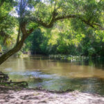 Yesterday was a beautiful day to revisit the Ocklawaha River. We launched at Gore’s Landing, paddling downstream ( North ) to the take out at Eureka East on HWY 316. The temperature was in the upper 60’s at launch time with spotted showers and became mostly sunny with a high around 72° for most of the paddle…James

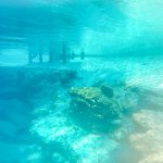
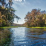 The Ichetucknee River is a 6 mile spring-fed river, flowing through Columbia and Suwannee counties in North Central Florida. The river is part of the Ichetucknee Springs group that includes nine named springs that contribute a total of 212 million gallons of water per day. These springs include Ichetucknee Springs, Cedar Head Spring, Blue Hole Spring, Roaring/Mission Spring, Singing Springs, Devil’s Eye (Boiling Spring), Grassy Hole Spring, Mill Pond Spring, and Coffee Spring…James
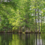 There are three main open water pools that define the majority of the lake, the Floral City Pool, the Inverness Pool and the Hernando Pool. Today’s paddle was on the Floral City Pool which is made up of Hampton Lake and Floral City Lake. In 1539 the de Soto expedition crossed through the middle section of the Cove. There are numerous
 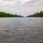 This was scheduled as part of a St. Patrick’s Day camping trip. We paddled a short 1.6 miles on the Withlacoochee, entered the Florida Barge Canal, paddled up to the Inglis lock, then all the way down the canal to Hwy 19 and our take-out. Not the most pleasant paddle I have been on. It was cool, cloudy, breezy, and short rain showers. While the Withlacoochee portion was scenic, the Barge Canal was, well it was the Barge Canal. This was one paddle I was glad to see the end!…James
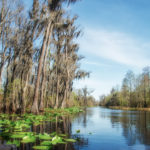 The Okefenokee National Wildlife Refuge is a 402,000‑acre National Wildlife Refuge located in Charlton, Ware, and Clinch Counties of Georgia, and Baker County in Florida, United States. The refuge was established in 1937 to protect a majority of the 438,000 acre Okefenokee Swamp…James
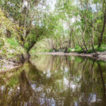 The original Alligator Creek ( North ) is a 6 1/2 mile long body of water, with it’s source about 4 miles East of Starke. The Creek flows in a southwesterly direction toward Lake Rowell, southwest of Starke, in Bradford County.
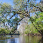 The Santa Fe River continues its flow for over 30 more miles until it meets the Suwannee River near Branford, Fl. Along the way, numerous springs feed into the river as do New River, Olustee Creek, and the Ichetucknee River. Due to the numerous springs, the water temperature is usually around 72 ° F, especially close to the springs…James
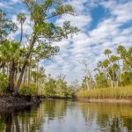 Otter Creek is an approximately 11-mile long creek, located in Levy County, 3 miles West of Gulf Hammock. Only the last 2 – 3 miles of the creek are navigable, toward the confluence with the Waccasassa River. The creek source is in the area of the town Otter Creek near Hwy 24 and Hwy 19. Otter Creek flows South until it merges with the Waccasassa River, which flows into the Gulf of Mexico just over 4 miles southeast, downriver…James
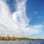 Halfmoon Lake is an approximately 500-acre lake, located in the Ocala National Forest, East of Silver Springs, in a protected Federal Forest. The lake is open, with minimal access to the shoreline except in a few areas. There is a thick growth of blackberry brambles throughout the shoreline, along with assorted reeds, rush, and Sawgrass…James